
In September 2015 Scotland’s newest railway, the Borders Line, opened to the public. I recently managed to take a trip on it to its terminating station, Tweedbank to walk the Eildon Hills. It’s an area I’m thoroughly unfamiliar with, having had no particular reason to visit in the past. I have a recollection of a brief and distant glimpse of these impressive hills as I drove back from Otterburn Training Area around twenty years ago. Now I was going to see them from a closer viewpoint. Just how close was yet to reveal itself…
Normally my stravaiging sees me head off from Glasgow Queen Street. This time I settled in to the diesel 158 unit at Edinburgh Waverley for the fairly short journey south-east-ish. With an end to end time of just shy of an hour this means you can squeeze in more walking than sitting if you wish. Often I spend as much time seated getting to and from the walk as I do actually walking. This would also be an ideal excursion for those shorter winter days where the light seems to have gone before you know it has arrived. The city quickly gives way to the more rural landscape, and from this angle the snow covered Pentlands are impressive. Twisting and turning through river valleys, the Gore Water and Gala Water slip by, passing farms, hamlets and castles. I visited one of these, Chrichton castle on a school trip over thirty years ago. I think a return trip may now be in order, but perhaps another day. The train beetles through Gorebridge, Stow with it’s stunning ruined arch bridge, then Galashiels where people struggled to the shops, heads down against the wind, to terminate in what appears to be an industrial estate on the outskirts of Tweedbank.
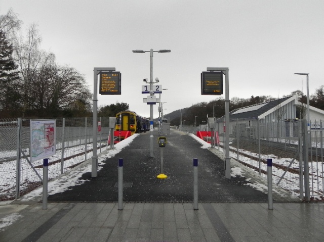
Tweedbank Station
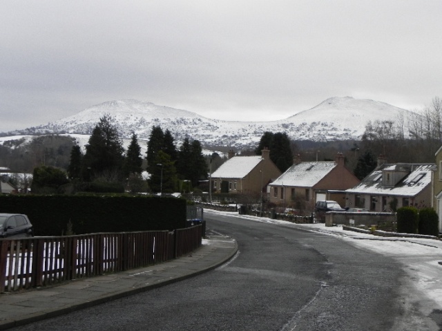
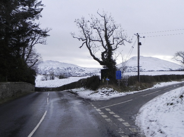
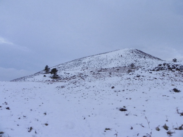
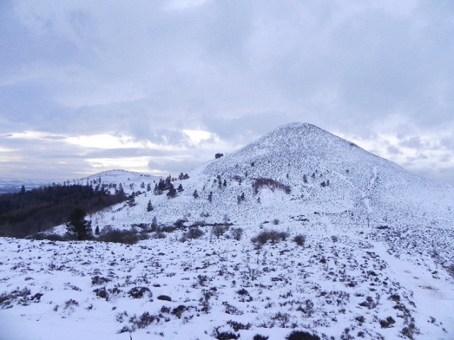
The station is sparse, with immensely long platforms. I step out and across the road where I am met with a pet hate of mine: the “You Are Here” map of the area for tourists. Now don’t get me wrong, I think these are vital for visitors. So vital that I believe they should be orientated to the ground. There’s one in Airdrie town centre which has the “you are here” arrow helpfully pointing to the street corner it sits on. Except it doesn’t. It sits on the next corner. This one at first glance would suggest the River Tweed is ahead of you (it’s behind you) and Melrose is off you your right (it’s left). Given this level of accuracy I decide not to follow the signposted footpaths and instead rely on my OS map to get me to the main road. I’m soon following the surprisingly busy B6374, but only for a few minutes, before cutting off to walk through the delightful village of Darnick with its historic tower. Very shortly I am getting a fantastic profile view of the Eildon Hills. It’s triple peaked outline inspired the invading Roman empire to call it’s nearby fort Trimontium, and the northern summit of the hill was a bronze age fort, dating back to around 1000 BC, as well as a Roman signal tower almost 1000 years later.
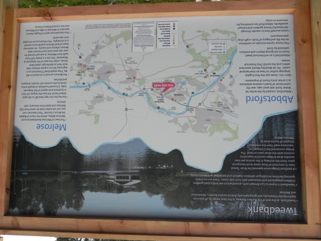
Helpful Map (helpfully orientated correctly)
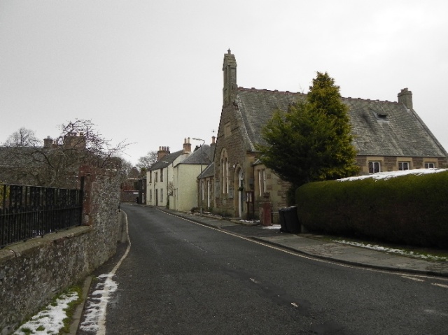
Darnick
Darnick and the Eildon Hills
Take the single track road
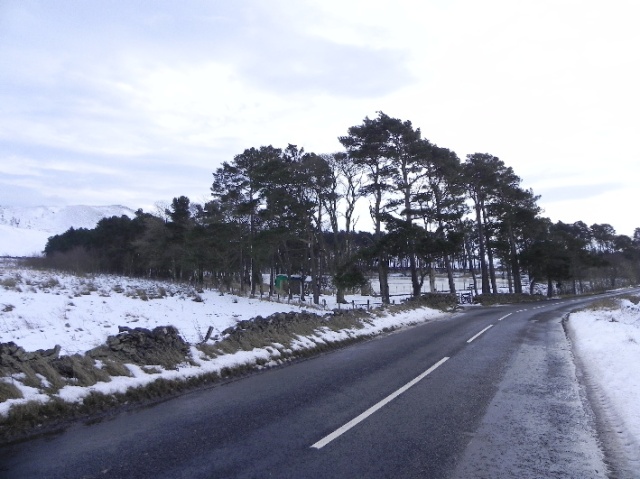
After passing the hospital the hill is soon hidden as I make a steep climb up a single track road lined with trees which hiss and shake with the wind. There’s a weather warning for the west of the country, one of the reasons I chose this short walk in the east over a bothy trip in the Highlands. The single track road soon gives way to a B road, and at this point the force of the wind can really be felt. With the cold and the driving wind it feels cold, really cold, and I put up my fleece lined hood on my windproof smock and carry on to the far end of a strip of woodland beyond Bowden Loch where a path is marked leading up to the hill. I can already see activity on the hill, children sledging and rolling large balls of snow downhill. Researching my route online after the walk I notice how only a few years ago there was little development here. Now the loch is fenced off, with access gates, signs and electric fences. It’s all very forbidding looking, but it does have a walkers welcome sign and the gate is unlocked, so looks can be deceiving. In any case it can be bypassed by an adjacent farm track.
Approaching Bowden Loch
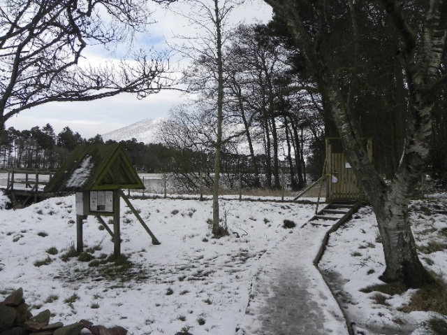
Welcome?
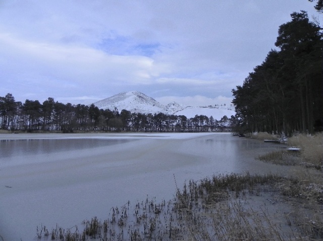
Bowden Loch
The path slides obliquely across the bottom of the hill between some trees, then splits for either Eildon Mid Hill or Eildon West Hill. The west hill appears a more pleasant, park like walk and I instead head up through the snow to the main summit. By this time I am being buffeted strongly by the wind.
Eildon Mid Hill
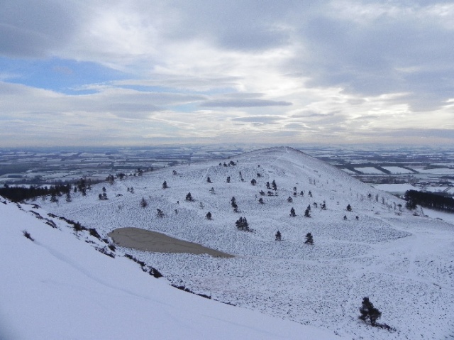
Eildon West Hill
The view, just below the summit
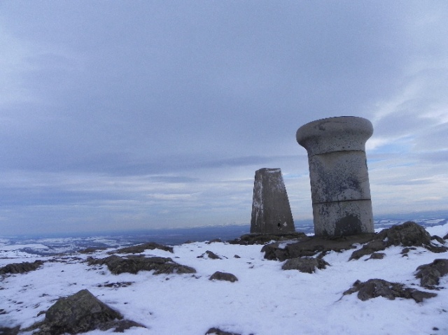
No longer sheltered by tree or hill, I am getting the full force of it. It perhaps hasn’t read the script; that the weather warning is for the west. I take readings from my pocket anenometer as I gain height and it’s not good. Around 60mph and gusting on the hillside. What will it be like up top? There’s only one way to find out, so I plod on. Now the wind is pushing at me, threatening to tear me from the ground and send me flying. As I approach the summit and it’s trig point and orientation pillar I feel myself losing. The wind is winning and I lunge forward, grabbing a small outcrop of rock, then crawling forward to shelter in the lee of the trig point. Catching my breath, I turn round and face the pillar, grabbing hold of the missing socket on top to steady myself as I take a wind reading, an astonishing 88.1mph! With that done and a bit of video footage for the record I drop down and make my way to the adjacent pillar and then off the summit. This isn’t a day to hang around for sandwiches.
The trig and pillar from my vantage point on the ground
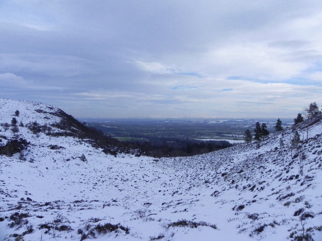
Beyond the hills, the North Sea
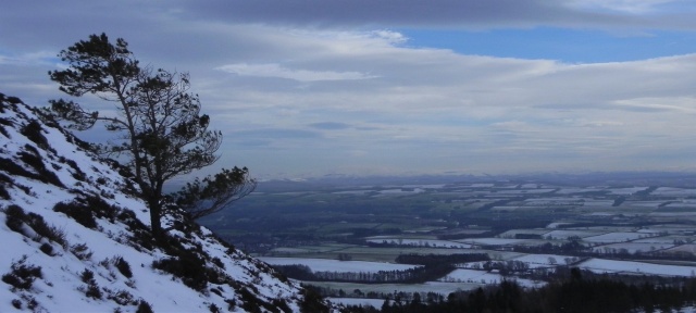
The descent is steep but short, the ascent of the north top is not as severe. It’s still blowing a hoolie and I take my leave of the cairn and take a break for lunch on the north slope, once a Bronze Age fortification, now just a bare, snowy hillside where I plot my route in isolation. There’s a feature called The Rhymer Stone down below, and I decide that will be my next stop. Before that though, I look at the far off snow capped hills of Northumberland, hidden beyond them Holy Island and the North Sea.
Eildon Mid Hill
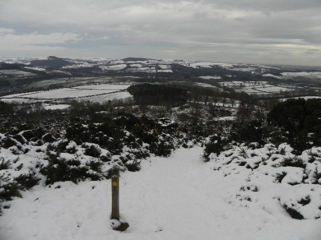
The path is straightforward and easy to follow down and deposits me on a wide road which appears to be closed off on my right. An interpretation board at the roadside tells of how Thomas of Erceldoune or “Thomas the Rhymer” fell asleep under the Eildon Tree and was taken by the Queen of the Faeries, to return some time after with the gift of prophesy. One of his more notable prophesies was “”On the morrow, afore noon, shall blow the greatest wind that ever was heard before in Scotland.” No, he didn’t know today’s weather, instead this cryptically refers to the death of King Alexander III in 1286, whose death lead to much instability in Scotland.
Descending from the north top
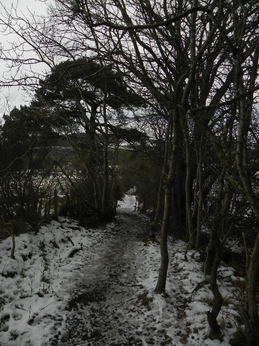
Through tree lined paths
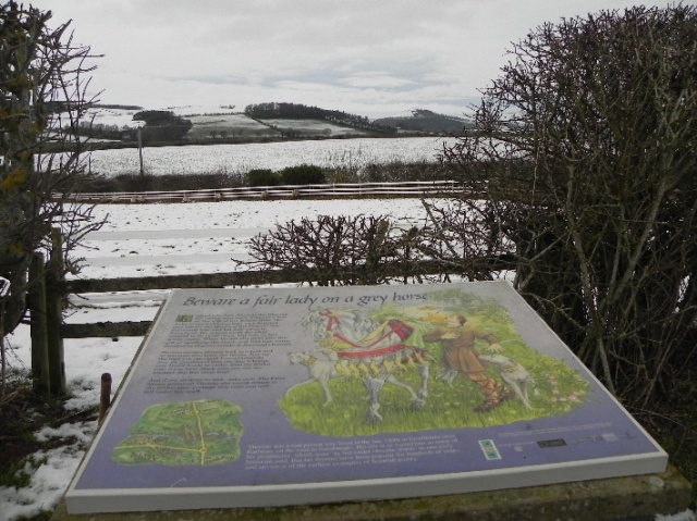
Thomas The Rhymer
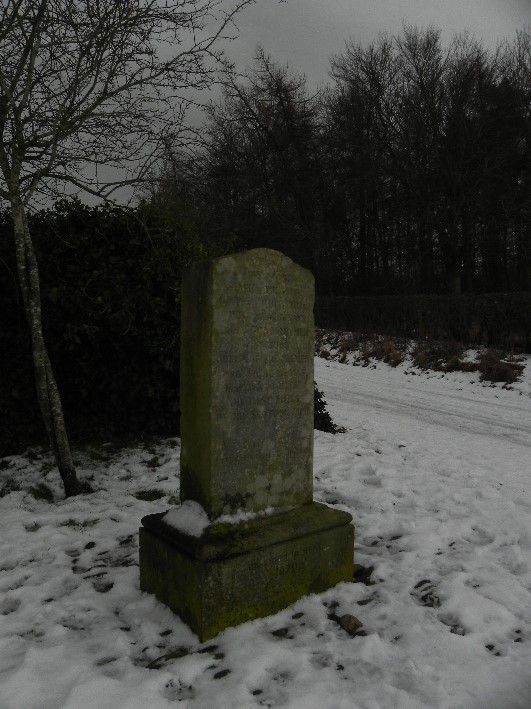
The Rhymer Stone
Melrose
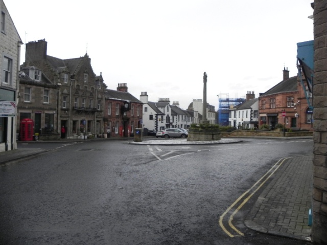
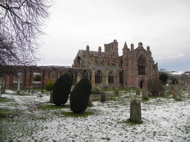
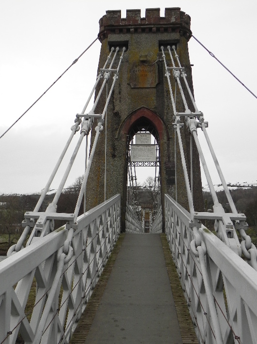
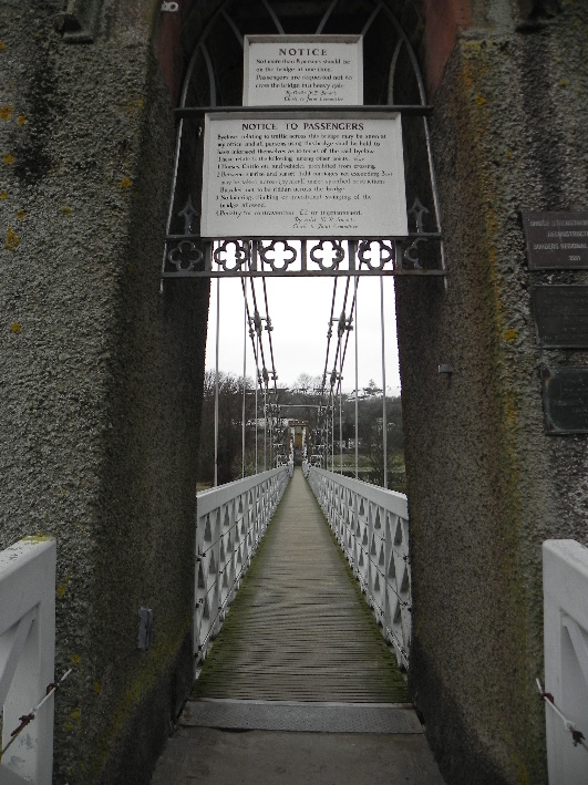
I head back along the road and into Melrose, a pretty little town and one I plan to return to. I make my way past the ruined Melrose Abbey, where the heart of Robert the Bruce lies to follow the path to the “Chain Bridge” across the Tweed. Opened as atoll bridge in 1826, the old sign remains warning of a fine of two pounds for lingering on the bridge or using it in windy weather. I do both, taking a few photos before slinking off before I am captured for my cash.
Melrose Abbey
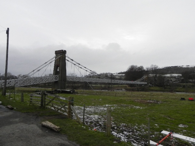
Chain Bridge
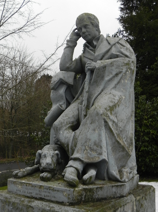
 With only a short walk to Tweedbank and a train not far off I veer off the riverside and past the Waverley Castle Hotel with its statue of a ponderous Walter Scott with his dog Maida. Possibly considering whether to book full or half board…
Walter Scott
While Walter is staying put, I’m off home. I’ve covered around 9 miles in 4 ½ hours and have really enjoyed it. It’s a nice mix of walking, hillside, woodland, riverside and urban, and only an hour from Edinburgh. As an introduction to the area it’s been eye opening, even if the wind was eye-watering…
15km
500m ascent
4hrs 30 min.
